


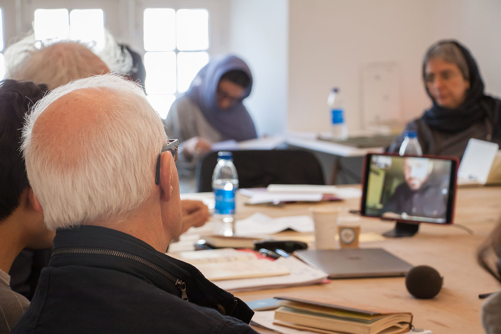
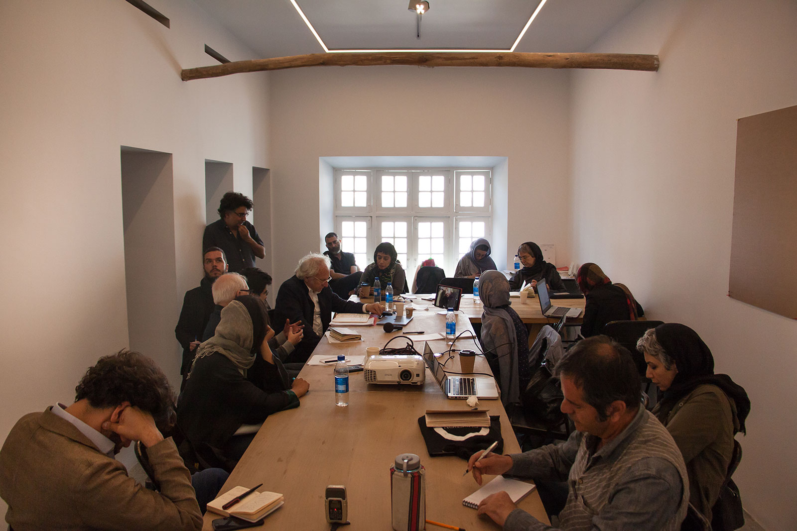
Reset Modernity! Tehran perspective [day 3]
27 April 2019
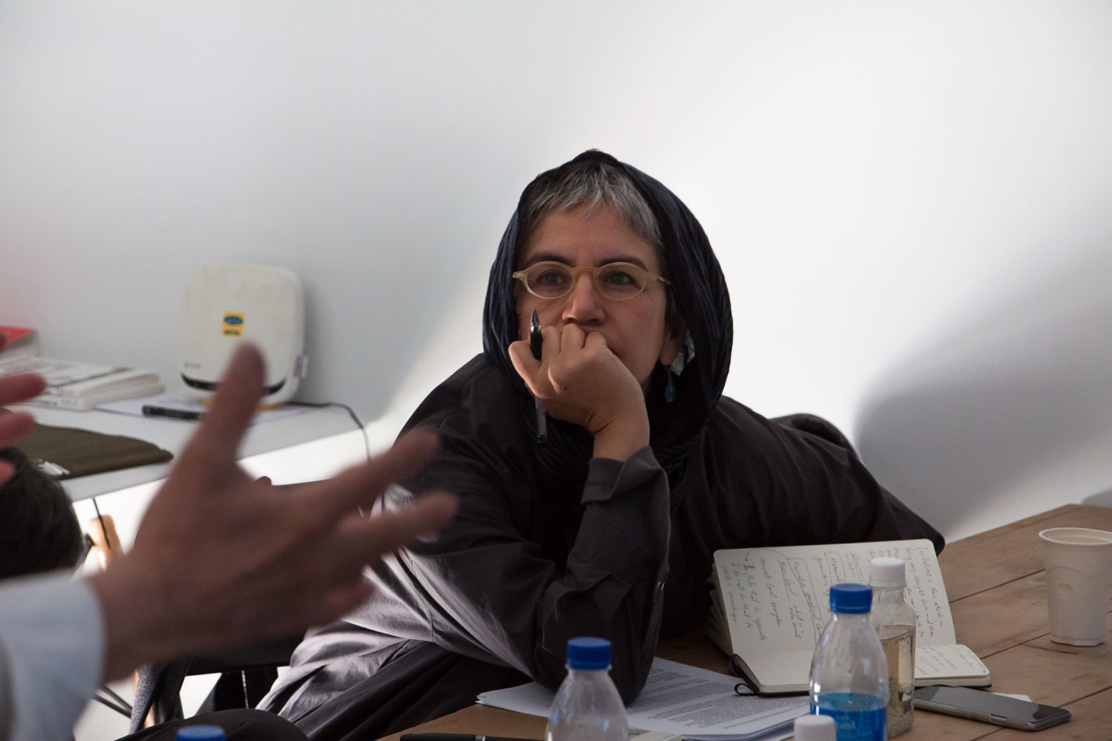
Moderation: Dr Laleh Ghadakpour
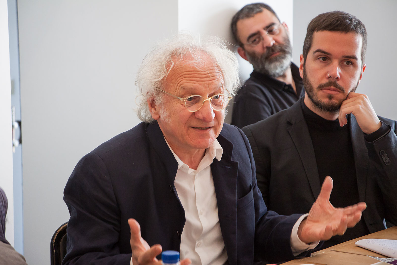
10 am: Introduction to the day by Reza Haeri and Martin Guinard
10h15 am: Keynote by Prof. Fariba Adelkhah (anthropologist, Sciences Po). Title: “Being modern in Iran”.
10h40 am: Skype presentation by Amin Moghadam (geographer, Princeton).
2 pm: Project presentation by Osian Thierry & Golshan Chahian (independent landscape architects). Title: Initiative Re-Ecosystem Re-Gneration.
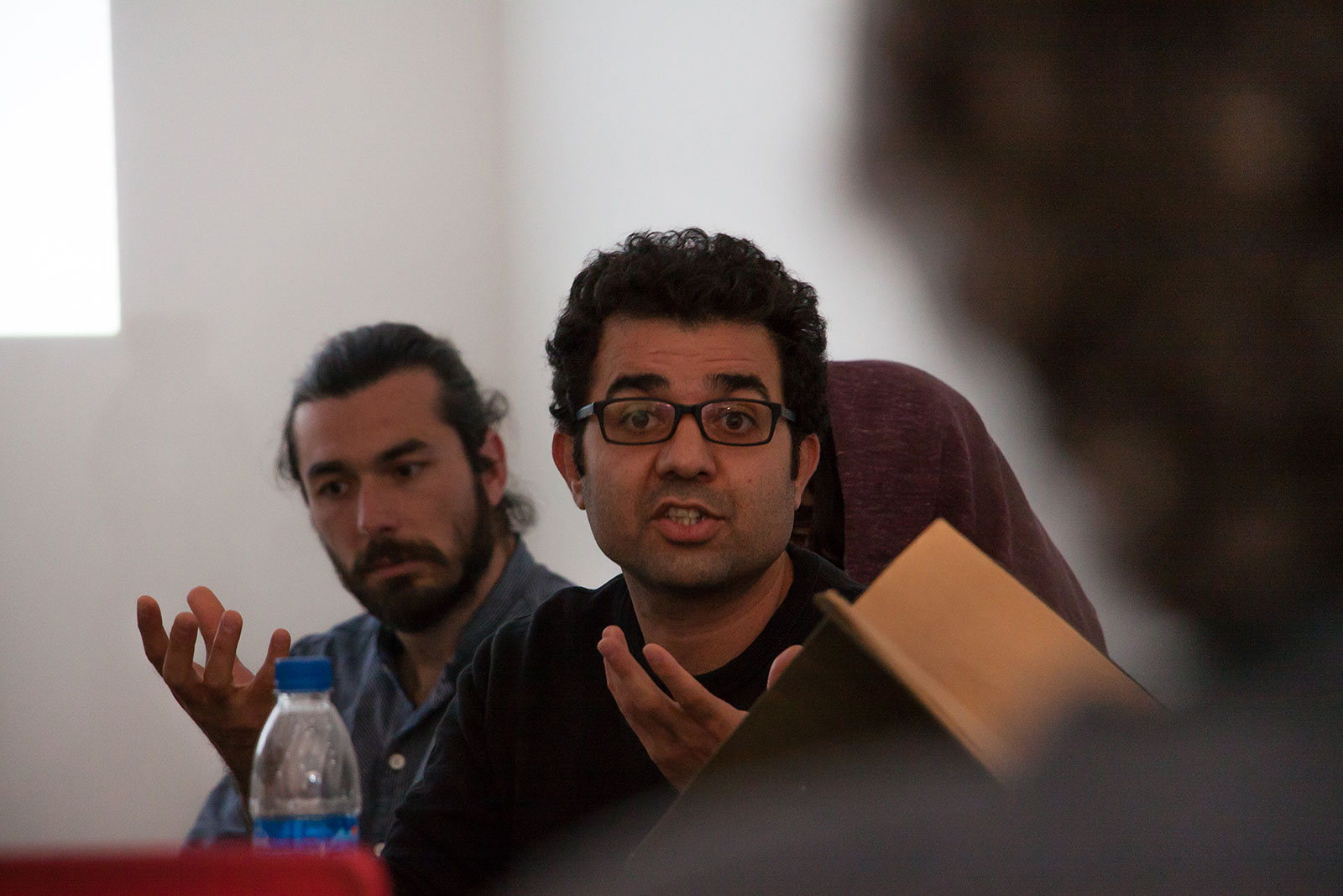
3h pm: project presentation by Mohamad Hasanzadeh (artist). Title: “Colonial Township” + “The Oil three geometric studies”
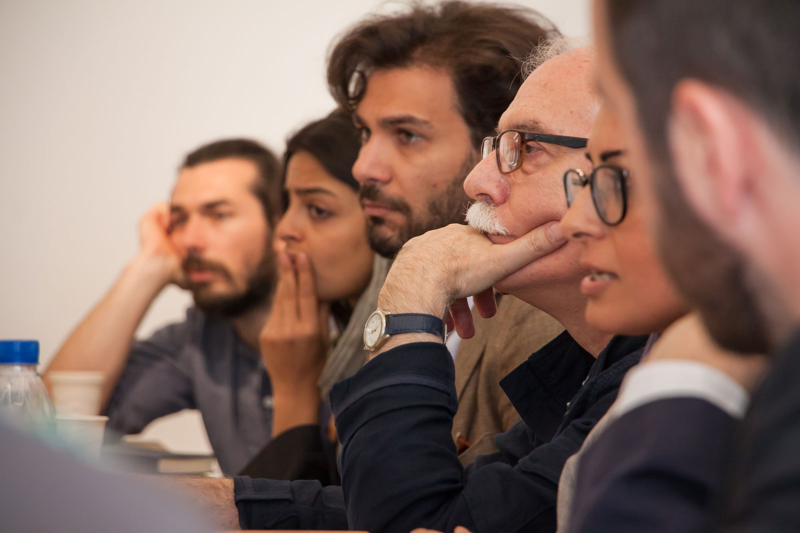
Followed by a collective discussion with all the participants
4 pm: Wrap up of the day
The split between geographers studying social phenomena and physical phenomena can be read as a direct application of the “Nature / culture” dichotomy: first came a physical space - shaped by geological forces resulting in mountains, plains and oceans - to which humans would adapt to build their social practices. But the Anthropocene imposes a new relationship in this order since the space to which humans were adapting is now being modified by their activity. Therefore, it seems crucial to rethink the relationship between geological and social geography. But how to visualize this new shift?
Cartography has been an extremely useful tool for delimiting territories of the various Nation states. It allowed a territorial organization which has been useful in dealing with a set of issues at definite scales (the local at the city level, the intermediary at a regional level and “global” issues at the international level). The problem is that the ecological mutation raises problems that are hard to pinpoint at these levels. An iconic example would be that transboundary hazards such as the radioactive clouds from Chernobyl did not stop at the local level but crossed borders from Russia to Europe.
The spatial organization of the Nation state presents a serious challenge to approaching the issues raised by pollution and other issues connected to the ecological change. Therefore, the question of how to articulate the representation of these territories becomes an urgent task.
Latour in his recent work has turned to the notion of Critical Zone, the thin biofilm in which life can take place. The intuition proposed is that through the mapping of the interactions occurring between humans, animals, plants, and minerals, as well as human artefacts (industrial productions…) we may gain a “compass” for understanding the necessary conditions of life on our territory that is better than the ones we currently have with the “classcial” 2D cartography. In our thinking about how to reassess borders as a tissue of relations between geological factors, human activities will be the stake of the day.
Date and Location:
Pejman Foundation: Kandovan
Monday, April 29th, at 10 AM
Photos by Mohamad Rezaee